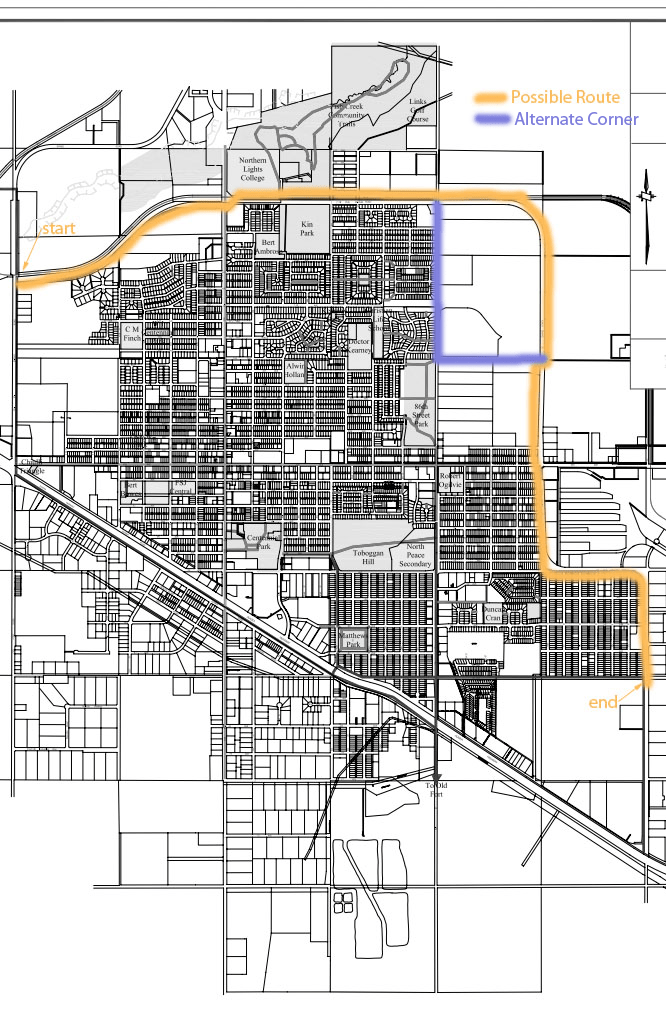
Google Map of Route with estimated locations of solar bodies
View Solar Walk in a larger map
A little history
The orange route below was the initial route thought out. After conversations with city staff the northeast corner will follow the purple path south along 86th street and turn east just south of the new hospital on the current trail before rejoining the bypass. This was due to the fact that the northeast corner is not maintained during the winter months at the time the project was completed.
Final measurements will be required but initial measurements suggest this may be the largest scale model for distances in Canada and in the top 12 in the world.

